Make the world safer place to live
Centre for disaster risk reduction and community development studies
𝕺𝖚𝖗 𝖁𝖎𝖘𝖘𝖎𝖔𝖓
𝕿𝖔 𝖇𝖊 𝖆 𝕮𝖊𝖓𝖙𝖊𝖗 𝖔𝖋 𝕰𝖝𝖈𝖊𝖑𝖑𝖊𝖓𝖈𝖊 𝖎𝖓 𝕽𝖊𝖘𝖊𝖆𝖗𝖈𝖍 𝖎𝖓 𝖙𝖍𝖊 𝖋𝖎𝖊𝖑𝖉 𝖔𝖋 𝕯𝖎𝖘𝖆𝖘𝖙𝖊𝖗 𝕽𝖎𝖘𝖐
𝕽𝖊𝖉𝖚𝖈𝖙𝖎𝖔𝖓 𝖆𝖓𝖉 𝕮𝖔𝖒𝖒𝖚𝖓𝖎𝖙𝖞 𝕯𝖊𝖛𝖊𝖑𝖔𝖕𝖒𝖊𝖓𝖙 𝕾𝖙𝖚𝖉𝖎𝖊𝖘 𝖎𝖓 𝕭𝖍𝖚𝖙𝖆𝖓

Background
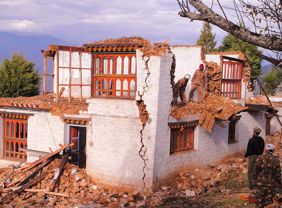
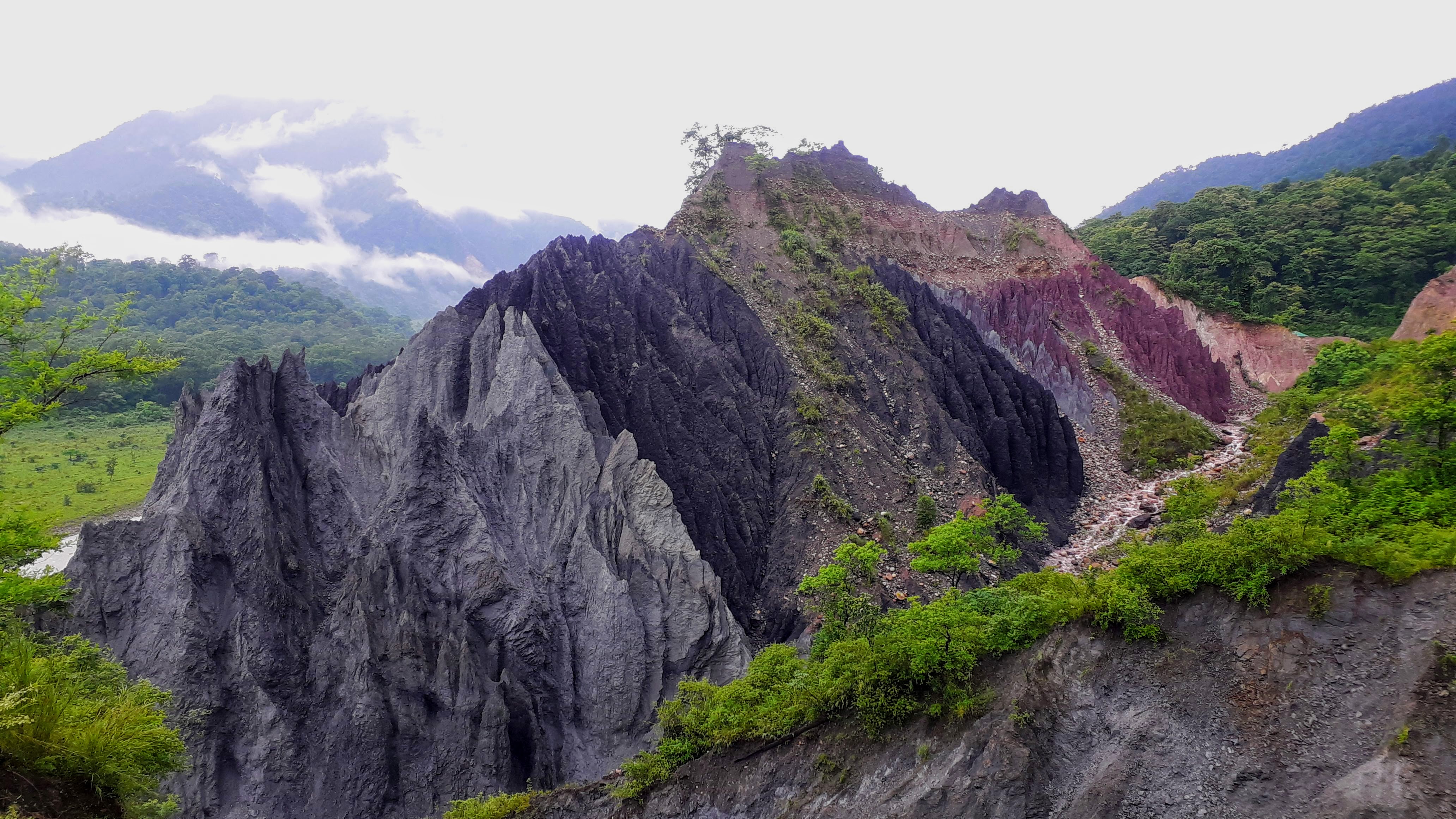
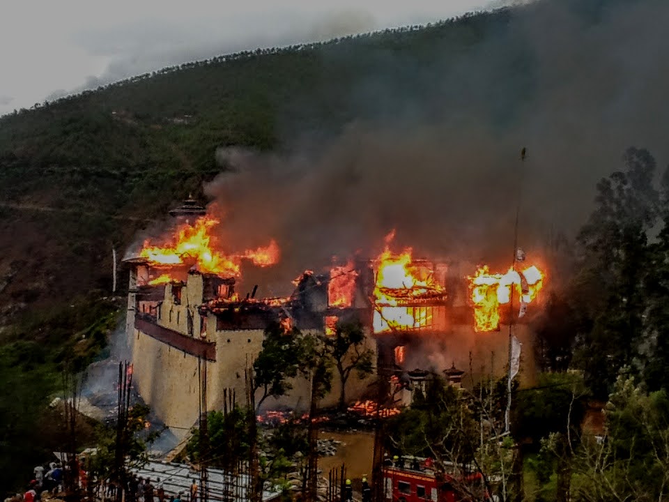
Himalayan Range is considered as one of the most hazard-prone areas in the world. An assessment has identified it is particularly vulnerable to flooding (both riverine and flash floods), avalanches and landslides, earthquakes and glacier outburst floods (GLOFs), due to steep terrain, high seismicity, fragile geological formation, intense and highly variable precipitation, and sensitivity to climate change. Bhutan is located in a seminally active Eastern Himalayan region having adverse geographical and geological conditions with steep and fragile terrain, susceptible to landslides due to earthquakes and intense rainfall. Further, these fragile landmass is subjected to constant tectonic plate movement making it susceptible to various hazards. Every monsoon Bhutan experiences heavy precipitation, floods, major landslides and roadblocks across the country affecting the socio-economic activities of the country.
Historically, earthquake in Bhutan dates back to 1897 of a magnitude M8.7 with the epicentre located at Shilong, India. Bhutan experienced awakening earthquakes several times recorded in the year 2003 (M5.5), 2006 (M5.5 & M5.8), 2009 (M6.1), 2011(M6.9). In April 2015, the Himalayan countries witnessed a devastating earthquake that measured 7.8 on the Richter scale with the epicentre in Nepal. Over 9000 casualties and more than 22,000 injuries were reported in Nepal.
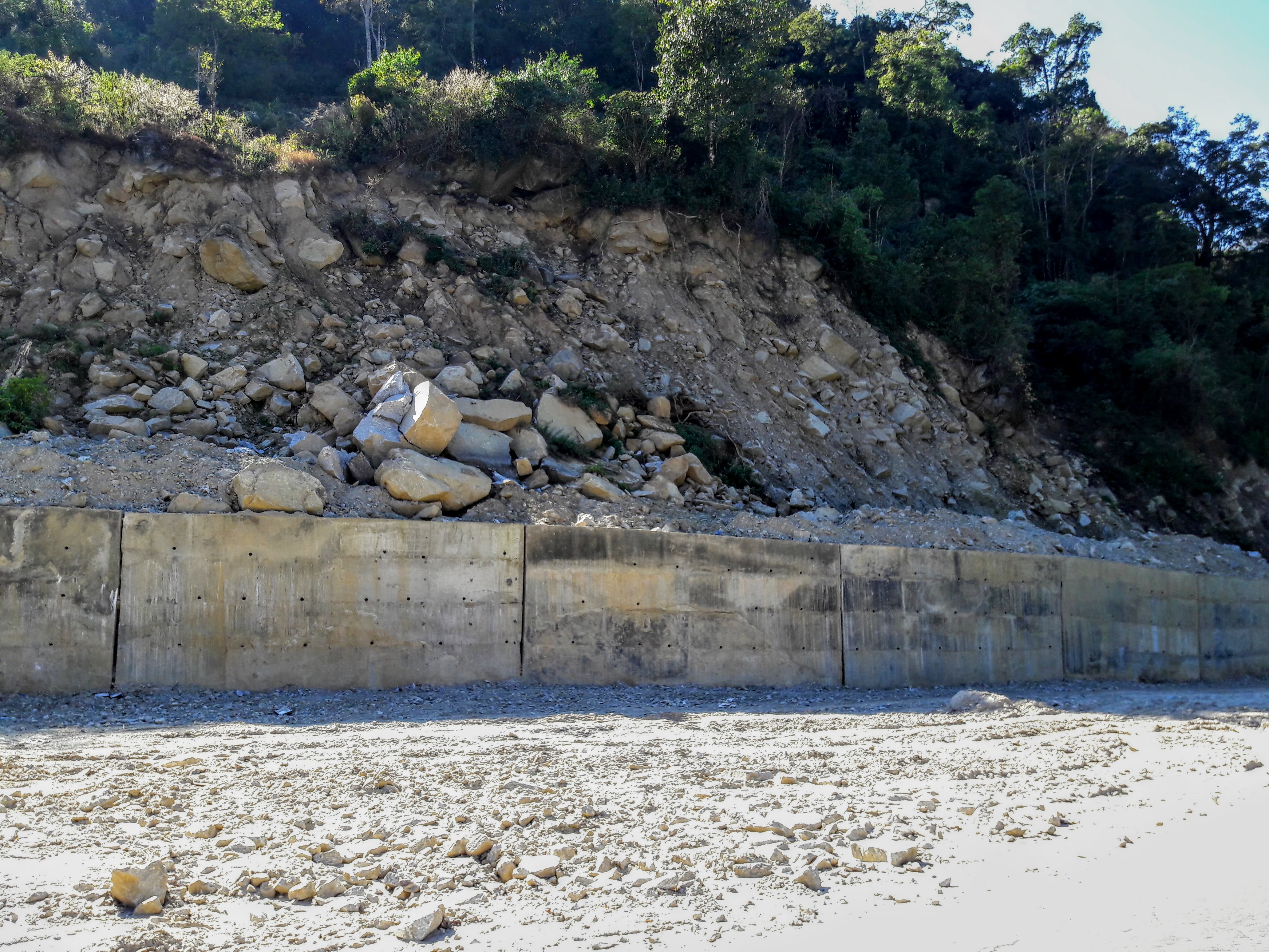
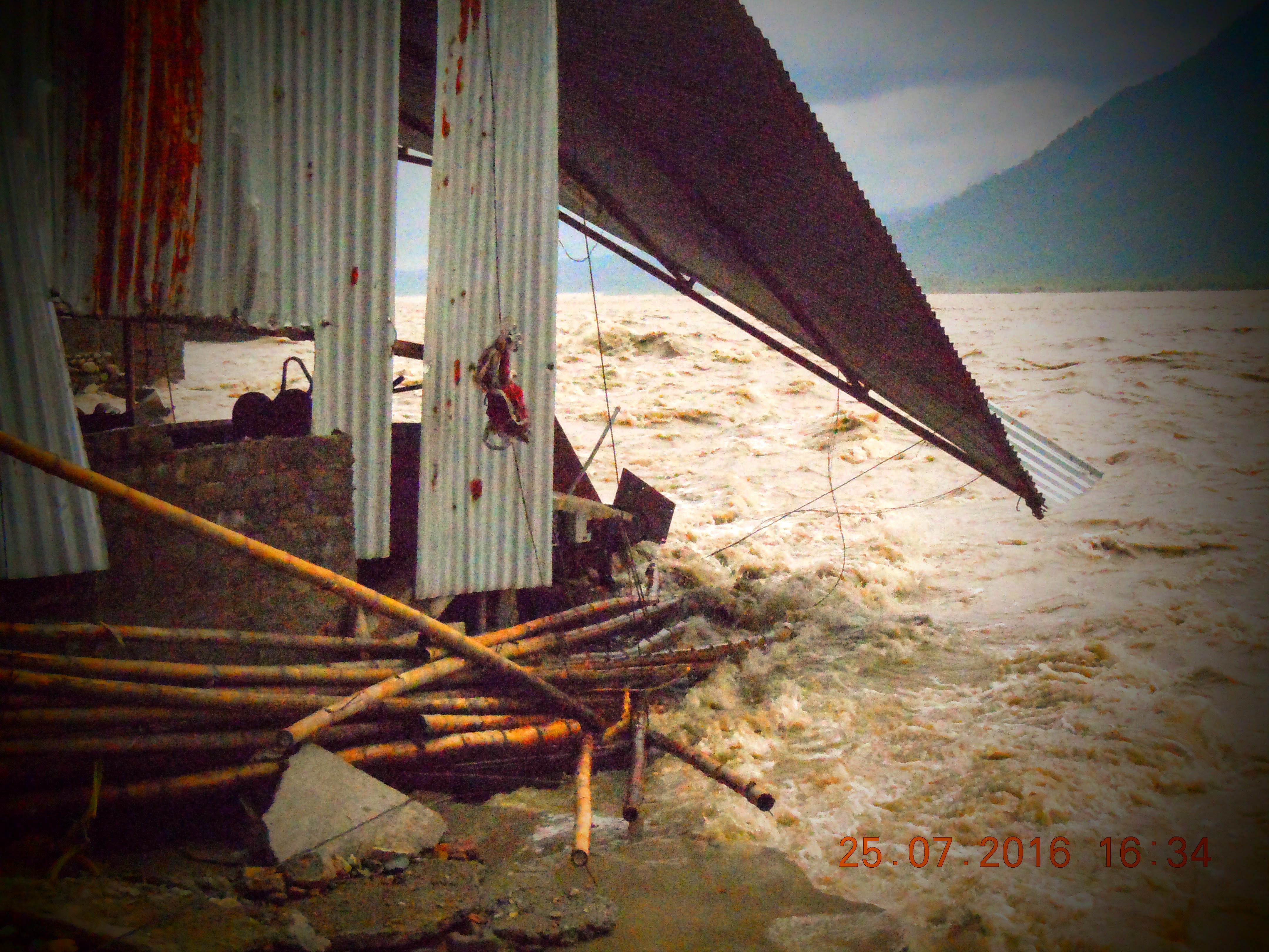
Landslides caused by the aftermath of an earthquake were reported in 1980, 1988 and 2003 for Bhutan. Landslides in Bhutan are mostly caused due to an earthquake and intense rainfall. It gained momentum after devastating landslides recorded in the year 2000 (Kharbandi Landslide), 2008 (Phuentsholing and Samtse slide) and 2009 (Cyclone Alia and heavy rainfall caused landslides and avalanches in Laya). Recently Landslide is one of the predominating disasters in Bhutan. Flood and GOLF have been the most devastating disaster recorded in Bhutan which dates back to 1968, and it is still creating chaos in the community. The very recent Moa-Khola flood which claimed lives, properties and infrastructures in 2020 is an example.;
Apprehending the fact that the population living in the Himalayan countries which are seismically active enjoys the hot-biodiversity, clean air and snow-capped mountain peaks; its vulnerable to earthquake, rainfall, GOLF and floods are evident. As most of the settlements are along the rivers and the foothills, it is of utmost importance for Bhutan to understand the vulnerability and prioritize the effort towards preparedness and response towards these disasters. Given possibilities of catastrophic consequences in Bhutan arising due to natural disasters, it becomes imperative for the country to focus on Research and Development (R&D) as part of a preparedness plan. This would, in turn, help the country to respond to disaster seamlessly.
To respond to the increasing threats from the disasters and make the communities resilient, the College of Science and Technology has instituted the Center for Disaster Risk Reduction and Community Development Studies (CDRR&CDS) under the aegis of Royal University of Bhutan (RUB) in the year 2016. CDRR&CDS aims to actively participate in carrying out the research activities with the vision to reduce the risk due to disaster and serve the community. As a premier technical institute, the college has established this Centre to help the community understand the possible cause and effect of the disasters and help the country in strategic and effective planning as a whole.
The Centre will work as a constitution of Expert Groups from Academia to help carry out the studies through scientific approaches thereby collaborating with relevant agencies within and abroad. The Centre would mainly focus on the enhancement of technical capacity through training and studies, and carry out community engagement programs through advocacy and awareness.
trainings and capacity development
Provides a platform for students and faculty to engage in disaster risk reduction studies.
